October 14-16, 2022
Last fall we packed up and flew down to Nashville, Tennessee to go visit some friends from high school and we couldn't resist swinging by the Great Smoky Mountains for some backpacking while we were in the area. The most visited national park in the country had to be put to the test, as well as non-NY foliage, and the general vibe of the south/midwest (call yourself whatever you want, Tennessee, it's ok). And the results are in. The Smokeys did not disappoint, nor the foliage, and while Nashville left something to be desired, we found Tennessee to be surprisingly pleasant.
 We decided on a 3 day 2 night trek and wanted to avoid some of the busier parts of the park like Clingman's Dome (bonus points if we can touch the AT). To do this, we started at Cosby Campground and essentially hiked the semi-circular ridgeline to the south, returning back where we started. Cosby Campground is a large but relatively quiet campground--about a 35 minute drive from I-40 and 3.5-4 hours from Nashville. The night before, we had staged ourselves at a hotel 30 minutes away and woke up bright and early to hit the trail as soon as possible. We knew we had a lot of elevation to gain our first day, so we ate an ample hotel breakfast and supplied ourselves with near lethal-doses of caffeine, leaving us bright-eyed and chipper as we rolled into the campground. We had previously reserved our campsites and did not have to do any in-person check-in.


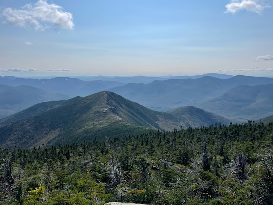
Day 1 tested us right from the get go. Starting at Colby at 2400ft, we had to ascend Snake Den Mountain and work our way over to Inadu Knob to meet with the AT at ~5800ft after 5.3 miles. The foliage along our ascent was stunning, the canopy and floor burning with vibrant reds, yellows, oranges, and purples. From Inadu Knob, we had another 3.7 miles to our campsite. This first section of trail between Inadu Knob and Old Black was easily my favorite of the day. It was grassy and idyllic and occasionally let out massive views to the east, showcasing much of the ridgeline we would be following and the incredible drainage valleys forming a dramatic multicolored bowl beneath us. Great stuff.
First good view looking east to Mt. Sterling.
Nice scenery along this section of the trail.
After this section, you skirt around Old Black (6370ft) and Mount Guyot (6621ft), which are some of the highest peaks in state. Guyot boasts the title of 3rd highest peak in the Eastern US but sadly doesn't host any real views, although there are unofficial trails to the top. We decided to press on and arrived at the shelter at Tricorner Knob (Campsite 38), tired but energized. The shelter is pleasant, although space is somewhat limited. Water comes from a spring pipe at the shelter, but the flow rate isn't great. About 5 people (mosty AT hikers) came through while we were there, and 2 slept with us in the shelter. Shoutout to Glen and Decadent, who Pat was farting on all night.
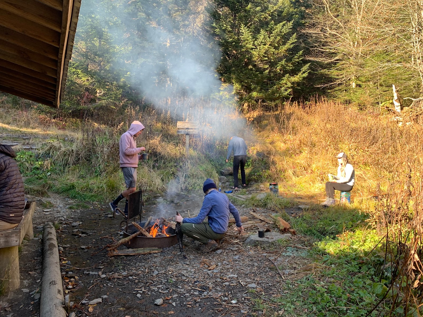
Evening shenanigans at Tricorner Knob Shelter.

The voice of the people.
 We took our time getting our act together on day 2, enjoying breakfast and a small fire while we filled up on water and packed up camp. Today was hypothetically a longer but easier day, where we'd be following a knobby ridgeline to the east for 5.8 miles before meeting up with the Benton MacKaye Trail and pressing northeast down to Pretty Hollow Gap and up to Campsite 38 at Mount Sterling. The first section of trail, wherein we skirted the southern side of a series of knobs, was conducted almost entirely under a thick pine tree canopy and, as such, was pretty uneventful. There wasn't any serious vertical here so this section was nice for absorbing the feel of the lush forest around us. Eventually, we met up with the Benton MacKaye Trail near Laurel Gap and stopped for lunch. We were starting to hurt in novel ways and were getting tired, so we popped some caffeine pills and ibuprofen and pressed onwards. This 3.9 mile section of the trail was similar to the previous and involved skirting the southern side of the hilariously named Big Cataloochee Mountain and a knob called Big Butt, before descending down to the Pretty Hollow Gap. This area featured more stream crossings than before and we saw a pretty sizable bear print.


 Once we were at the Gap, we had a final 1.3 mile ascent up to Mount Sterling, which ended up being the most action-packed stretch of our trip. About a quarter mile before the peak we had our first and only bear sighting--a mother and 3 cubs, which were on the trail about 50-100 feet ahead of us. Being all of our first real bear encounters on the trail, we nervously vacillated between wanting to appreciate/record the moment and wanting to get them to move along. The mom was pretty unimpressed by us and our loud noises, and it took her a couple of minutes to get out of our way. Next, no less than 5 minutes later, we almost stepped on a small Copperhead. It wasn't moving much, probably due to the lower temperatures the area was experiencing, and this guy seemed dazed and confused. We gave him sufficient berth regardless and were soon at the top of Mount Sterling and backcountry site 38 at 5800 feet. Sterling has a great nice lookout to the east, as well as an old fire tower with 360-degree views. Really, really nice stuff. The only downside to this spot is that you need to travel some 0.5 miles to get water, but it could be worse. Several people came up to camp in the area as well, including a guy who was tracking a dog that had apparently gotten loose. With temperatures possibly dropping below freezing tonight, it wasn't looking good. We met an awesome guy named Nadi, who talked to us about life in the way that a 60 year old will when he meets people in their 20s, and ate dinner around the fire before lying down and doing some stargazing. We saw a few meteors, feeling close and connected.

Being cute and loving at the Mt. Sterling vista.
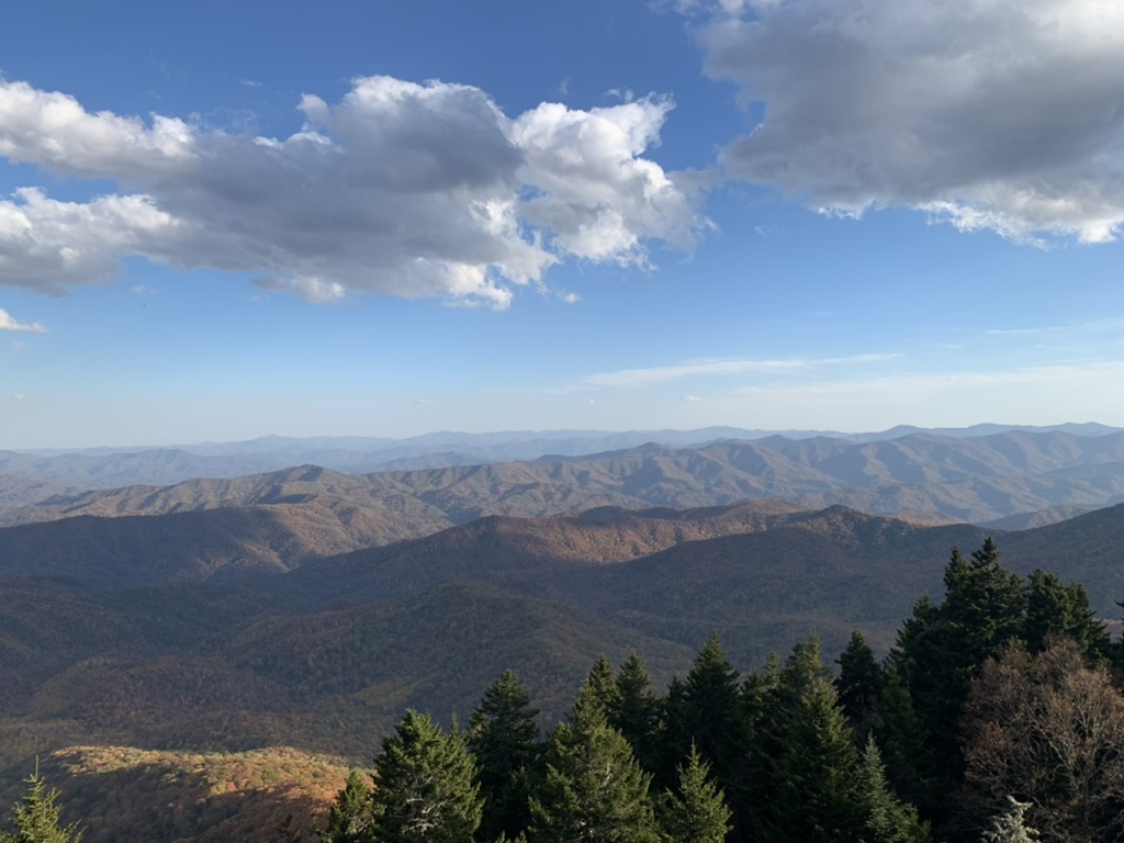
Views east into North Carolina from the fire tower

Fiery skies from the fire tower.
 Our third and final day was the kind of day that I'm now realizing is pattern of a pattern for me. The kind of day that seems easy at first glance, but ends up being painful and horrifying. For some reason I blindly apply a kind of overly simplistic optimism to day 3, constructing a false narrative to make it seem easier than it actually is. The story I was telling myself (and everyone else) was that we had a ~9 mile hike which only really involved descending Mount Sterling to make our way back to Cosby Campground. The reality was was that we had 11.3 miles to descend 2,800 feet down narrow switchbacks alongside Swallow Fork until we reached Big Creek at 3,000 feet, at which point we had to climb another 1,500 feet to Lower Gap, before going down another 1,900 feet to Cosby. Maybe this isn't so bad in practice, but I think the size of the descents along with the "surprise" ascent and our general exhaustion and lack of caffeine made this the most difficult day and arguably one of the most difficult days of hiking I've ever done. Pain and suffering aside, this was a distinct, beautiful, and interesting section of trail. The area along Swallow Fork and Big Creek was full of rosebay rhododendrons, which we hadn't seen much or any of before. It was an overcast day and the water was big and flowing. I suppose this was the only real river valley we followed. We stopped for lunch at the aptly named Big Creek, collected some rocks, and found a big fat salamander. The climb up to Lower Gap was brutal and the descent down Cosby Creek to the campground was like a fever dream. I'll leave it there. We returned to our car exhausted, sweaty, hungry, and triumphant. 31.7 miles and too much vertical later, we had come in and experienced the Smokies in a way that few people do. We were fortunate enough to have clear weather, met interesting people, and seen a family of bears and a live but inactive copperhead. You can't ask for much more than that. Until next time.

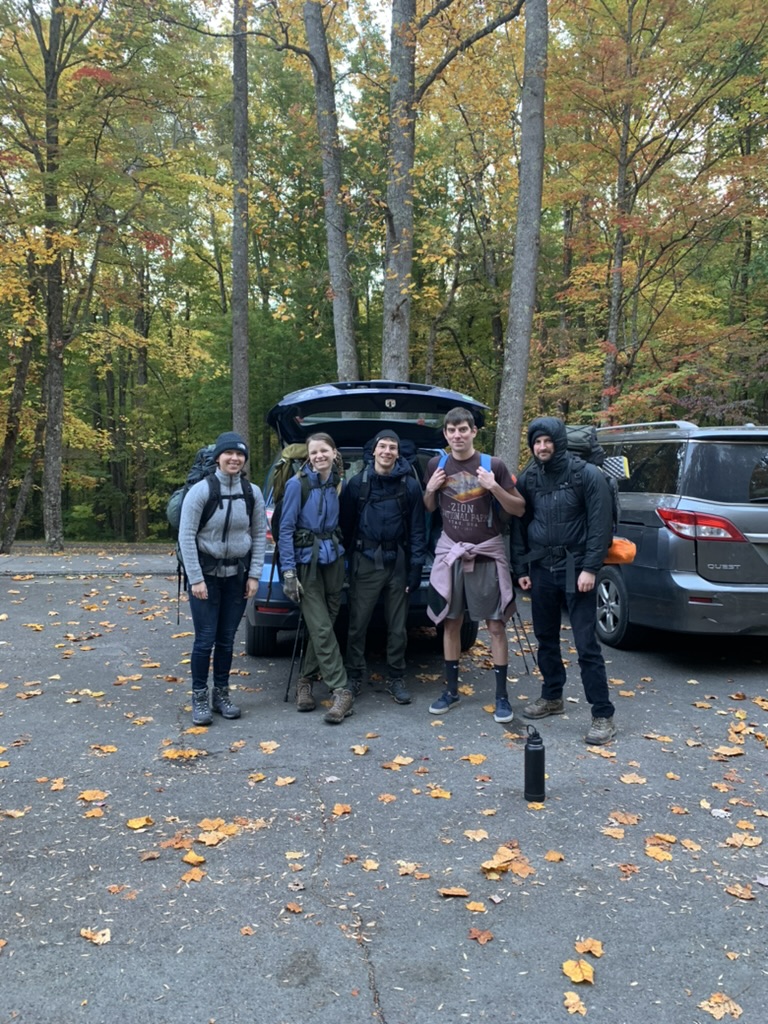
Exhausted but triumphant, back at the car.
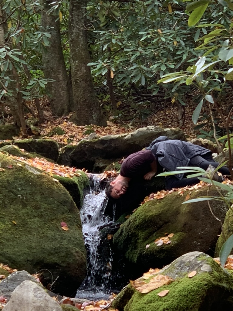
The picturesque Big Creek.
Treescape down Swallow Fork.
Unknown salamander.






No comments:
Post a Comment