Serious yet unassuming, Biscuit Brook rushes down from the slopes of Fir and Big Indian, exposing massive slabs of sandstone and mudstone in a dense hardwood forest. Further to the west a thick, wild, and largely neglected series of humps leads to the equally neglected South Doubletop, where the remains of a plane crash from 1983 can be found. This route offers 3 types of bushwhacking and the opportunity to bag 2 Catskill High Peaks and the added chance to mistakenly (and uselessly) bag S. Doubletop. South Doubletop might not be on the Catskill 3500 Club list, but it might be on the "Most Painful Bushwhack" List.
At a Glance
Trail Type: Lollipop
Time: 7-10 hours
Mileage: 15 miles
Elevation Gain: 3600 feet
Catskill High Peaks: Fir, Big Indian (S. Doubletop not a 3500 Club requirement)
Start/End: Biscuit Brook Trailhead, Claryville, NY (https://maps.app.goo.gl/bVxMapRJC2ReujwK7)
Trip Dates: 9/8/24
Trail Overview
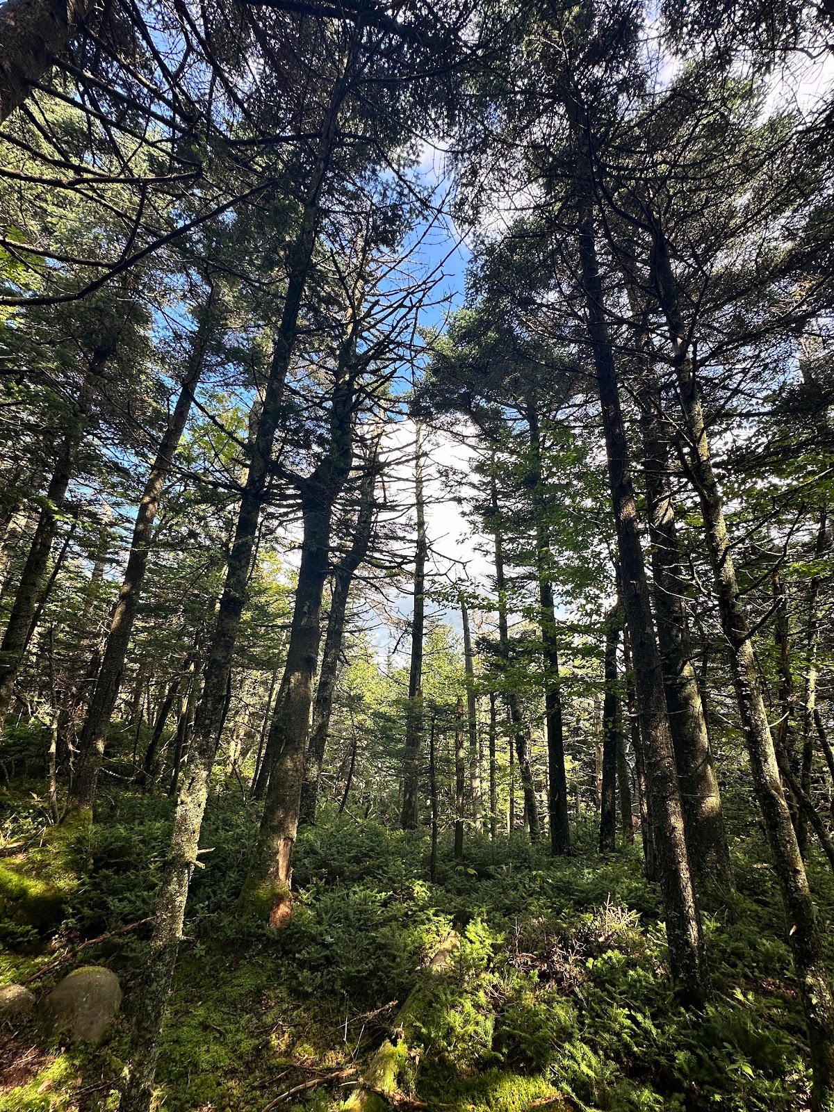
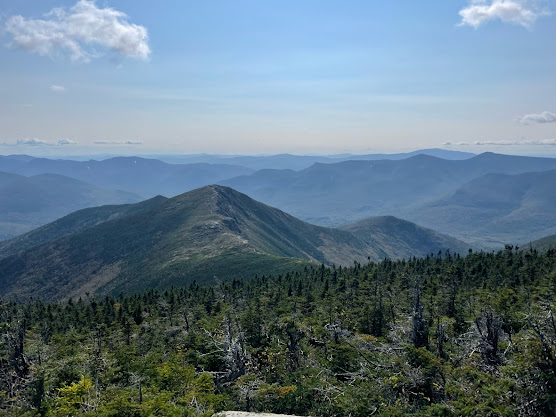
Babbling brooks, waterfalls, moss-coated lean-to's, plane crashes, and 3500 Club canisters abound on this route. And along the way you'll have the opportunity to experience 3 types of bushwhacking which I will simplify as: easy, intermediate, and advanced. This one has it all, folks. Except for views--sorry about that.
The trail starts at Biscuit Brook Trailhead, a few miles south of the Slide Mountain Trailhead on County Road 47 and close to the Frost Valley YMCA. From the trailhead it's a relatively simple 2 miles to the Biscuit Brook Lean-to (in a very beautiful location). Immediately after a minor river crossing, the Fir herd path shoots off to the right (northeast) and steadily climbs up about 1500 feet over 1.5 miles. As far as bushwhacks go, this is one of the simplest and makes for a great first bushwhack in the Catskills. From Fir, there is another herd path that goes on to Big Indian to the west, another 1.7 miles and about 600 feet of elevation gain/loss. This section is less straight forward and may have you retracing your steps, and makes for a great, accessible challenge for those who feel confident after the ascent to Fir. If you're really feeling confident, you can continue on from Big Indian to make the journey to South Doubletop. Now THIS is a bushwhack. You will literally be whacked by bushes. Often. It's about 2 miles to South Doubletop from the closest formal trail south of Big Indian and it took me 2 hours to complete the 2 miles to South Doubletop and a little bit less than that to make the return trip. But it's also some of the most fun you can have in the Catskills, assuming you're into that kind of thing. Once you're back to the formal trail, it's a simple and easy 4 miles of certified, marked trail back down to Biscuit Brook TH.
Trip Report

Biscuit Brook (left) and example of herd trail going up Fir (right)
After signing into the canister on Fir, I began to push west for Big Indian. There are several herd paths to follow here and the going is a bit less clear than on the Fir ascent. Let's call this a level 2 intermediate bushwhack. I had to backtrack a few times and at some points I found myself hacking my way through minor areas of green blizzard (densely packed evergreens). The path is straightforward, though. Climb down to the saddle between Fir and BI and then climb up to BI. It took me a little under an hour to hit up BI. At this point, it was around 1pm and I had gone about 6 miles and I became aware that my plans to get Balsam and Eagle were a fools errand. Since I was close to it, I figured I'd snag South Doubletop and if I had time would go get Eagle before heading back. Still deluded, but somewhat less so.
As far as S. Doubletop goes, the "herd path" starts a little south of the trail by BI, according to the AllTrails tracks I was using. It's about 2 miles each way to S. Doubletop and the concept is this: first you drop into a small saddle, then navigate around/over a very overgrown hill, fall down a couple cliffs into a steep saddle, and then steeply climb up to Doubletop. I was periodically able to hallucinate a herd trail every now and then but they quickly vanished, and before long I found myself literally fighting my way through green blizzard on all sides. What the hell man. If not that, it was the stinging nettles. Or being constantly smacked in the face by branches. There are some decent rock ledges to negotiate as well. I very quickly realized that trying to precisely follow the AllTrails tracks was a fools errand so I just busted out my compass/GPS and intuition.
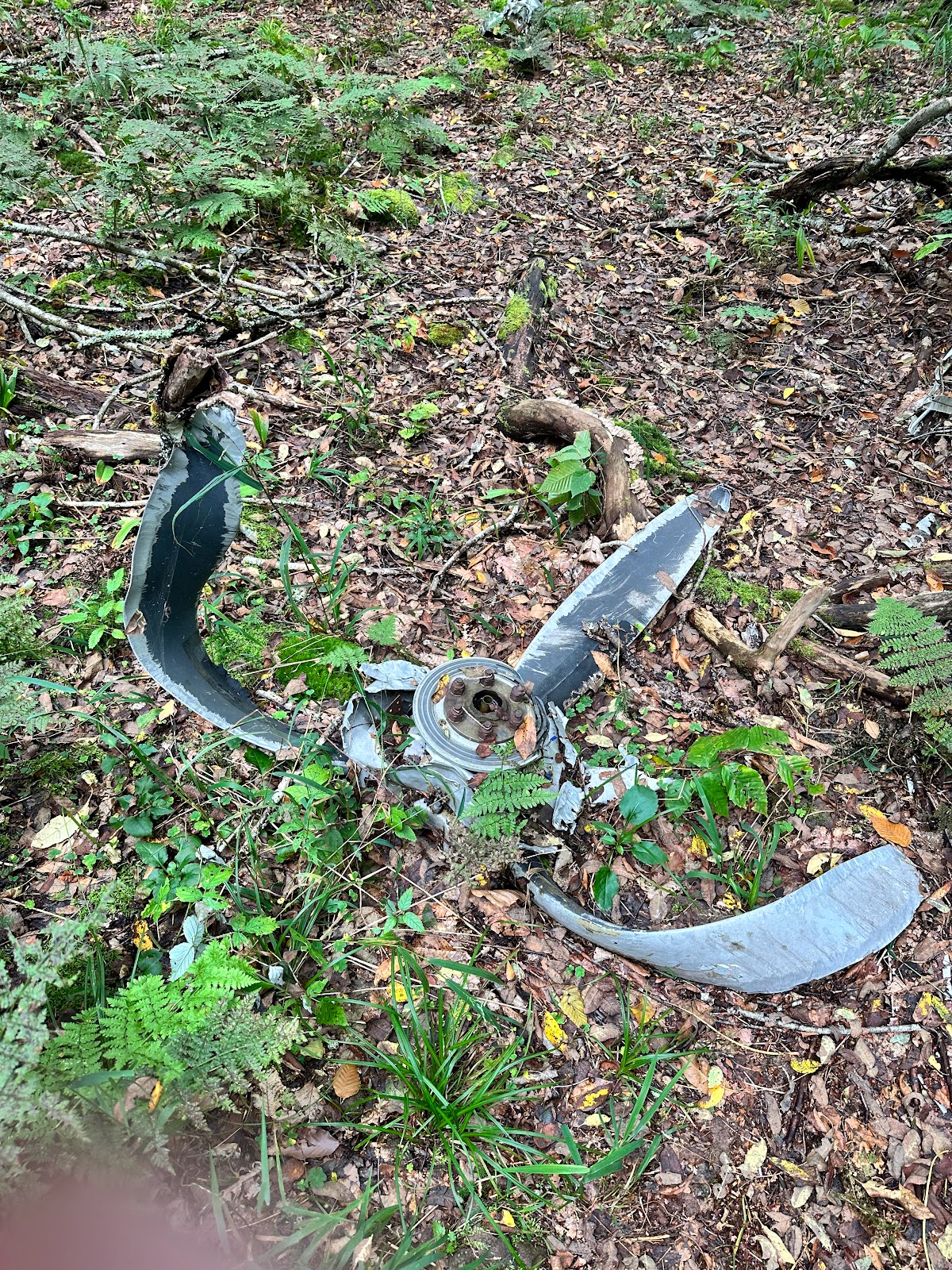
On the way there, I tended to the left (southern) side to navigate down the first saddle and around the hill, and I don't think that was the best way to go about it. On the way back, I basically just shot straight through these features and had a much better time of it. From the deeper saddle immediately before S. Doubletop, it's pretty straightforward albeit quite steep. And just before the summit, around 3700 feet, are the remains of a plane crash from the 80s. It's a bit eerie to see something like this encased in forest. Especially when you can also see the occasional shoe strewn about.
Like I said, I had an easier time returning than I did going in, but by the time I got back to the main trail by Big Indian, I was clocked in around 11 miles and was pretty beat after being abused by spruce and nettles for the last several hours. I made the right choice and headed back down to the car. The sun came out and showed some nice blue sky and by the time I got to the car I was completely famished. And yes, I did get vegan pancakes at the Phoenicia Diner yet again. Total trip 15 miles. It was only sometime later that I realized that S. Doubletop was not actually on the 3500 list. Well. So it goes. At least I was able to experience


No comments:
Post a Comment