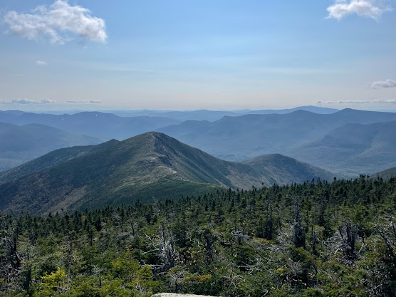
Backpacking the Catskill Mountains: Long Path Sections 16-19
Type: Point-to-point
Start: Vernooy Falls/Upper Cherrytown Trailhead, Kerhonkson, NY (https://goo.gl/maps/vJFSPN94ZyWnDQ7R8)
End: Mount Romer Trailhead, Phoenicia, NY (https://goo.gl/maps/sQHuNMZ3omYZG38L8)
Mileage: 36 miles (40 including the detour to filter water)
CalTopo track:
Introduction:
While camping at Bouton Memorial Lean-To with Ivy the other weekend, a poor soul came through to the shelter in midsts of a torrential thunderstorm and told us she was section hiking the Long Path, from Cherrytown Road to Phoenicia. The Long Path goes through the Catskills? Somehow, this had never dawned on me. I've already done the Devil's Path and Escarpment Trail and thought that I had run out of thru-hikes in the Catskills. But it turns out I was very wrong and the Long Path offers another 93 miles of thru-hiking. Shoutout to Isabel for this inspiration, as that was pretty much it. I had a new goal: crush the Long Path in the Catskills. Usefully, the NYNJTC has an interactive map with information about the Long Path sections (https://www.nynjtc.org/book/overview-map-and-overview). I elected to start with the stretch that the Bouton girl did, which turned out to be sections 16 thru 19, starting at the Upper Cherrytown Road Trailhead and ending at the Mount Romer Trailhead in Phoenicia. Along the way, the LP passes a waterfall, the nicest swimming hole in the Hudson Valley, and 5 peaks with 3500+ foot elevation (including the highest peak in the Catskills), in addition to countless views of the southern Catskills and mid-lower Hudson Valley. Some parts of the trail are very unused, particularly the stretch across Sundown Wild Forest and the stretch between Wittenberg Mountain and Mount Pleasant, but much of the trail runs along more popular, well maintained trails as well. The weather was sunny and dry, around 70-75 degrees in the Catskills, and was practically heaven on Earth after the absolutely brutal steam-prison which had been the Hudson Valley for most of July.
Day 1 - Upper Cherrytown/Vernooy Falls Trailhead to Bouton Memorial Lean-to: 15 miles.
 The Vernooy Falls/Upper Cherrytown Trailhead is several miles north of Kerhonkson proper, on the edge of Sundown Wild Forest. As I did this trip alone and left my clone and extra car at home, I had to figure out transportation for myself. I woke up early, grabbed coffee and a bagel, and made the drive up to the Mount Romer Trailhead, where I left my car and waited for a scheduled Lyft. After 45 minutes of waiting, I decided my Lyft somehow fell through and decided to go drive to find service to see if anyone had tried to contact me. I got my car and about 30 seconds before I would have been off to the races, a car pulled onto the road and ended up being my Lyft. Incredible timing. I arrived at the Upper Cherrytown Trailhead, which is large due to the proximity of Vernooy Falls, and was on the trail by 11:45am.

Starting from the trailhead, traverse an easy 9.5 miles following Blue Markers across Sundown Wild Forest to Peekamoose Road. Starting around 1200ft elevation, the trail gradually climbs until peaking off around 2400ft while passing under the southwest side of Bangle Hill, about 7 miles in. After this, the trail abruptly drops down to the Rondout Creek and Peekamoose Road at around 1200ft. The only notable feature along the way is Vernooy Falls, which is an easy and pleasant 1.7 miles from trailhead. The falls are sizeable and make a nice place to hang out. I stopped for a Belvita before moving on. About a mile after the falls, I inadvertently startled a bear about 50 feet ahead of me on the trail. By the time I realized that the sound was, he was already well off the trail to my left and barely visible. As such, I couldn't get a clear picture. This is my first time seeing a bear while hiking, so this was pretty exciting. The trail is clear and well maintained up through Pople Hill.


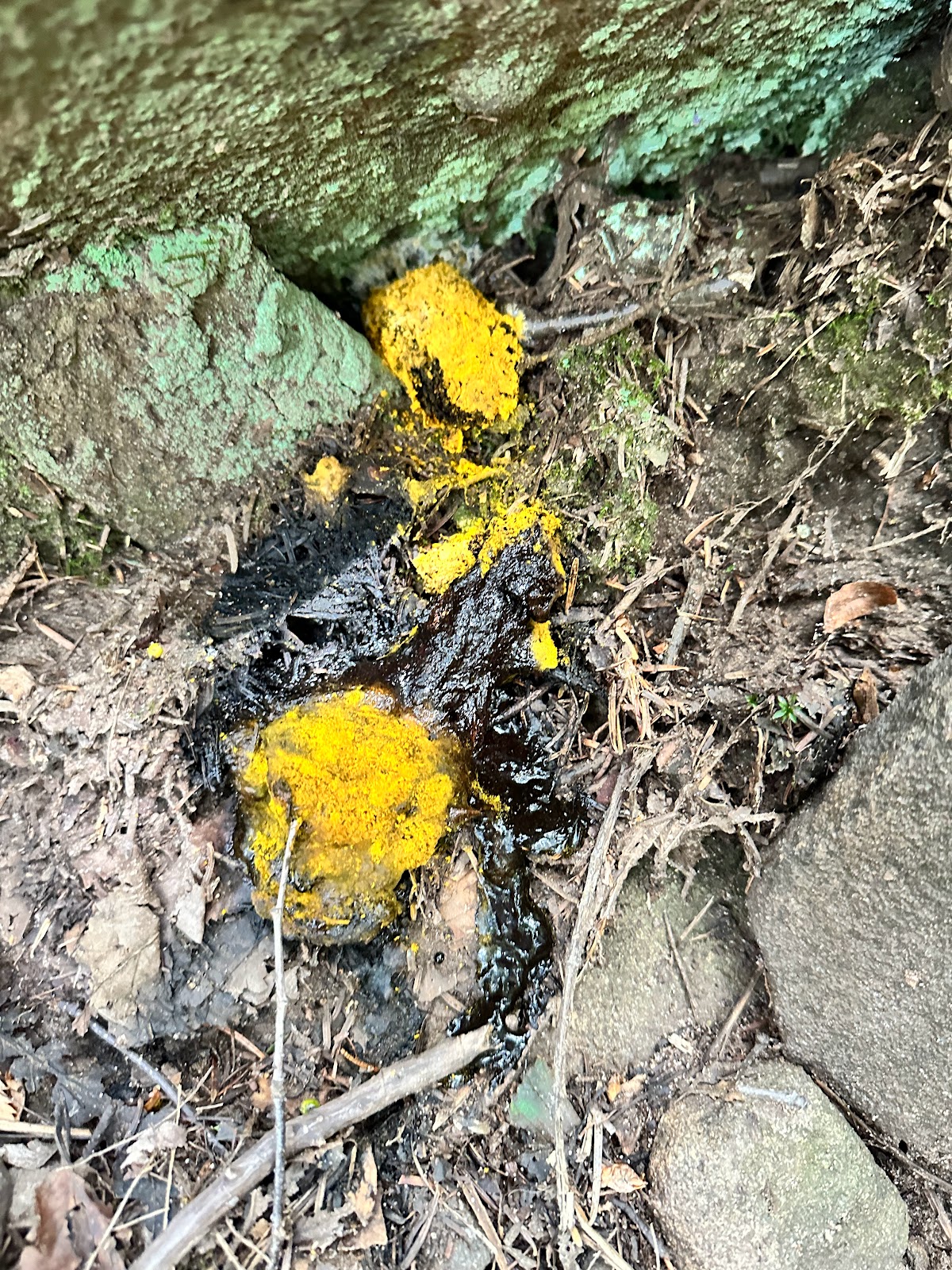
Nice fern terrain around Pople Hill (left), cool fungi (center), red eft (right)
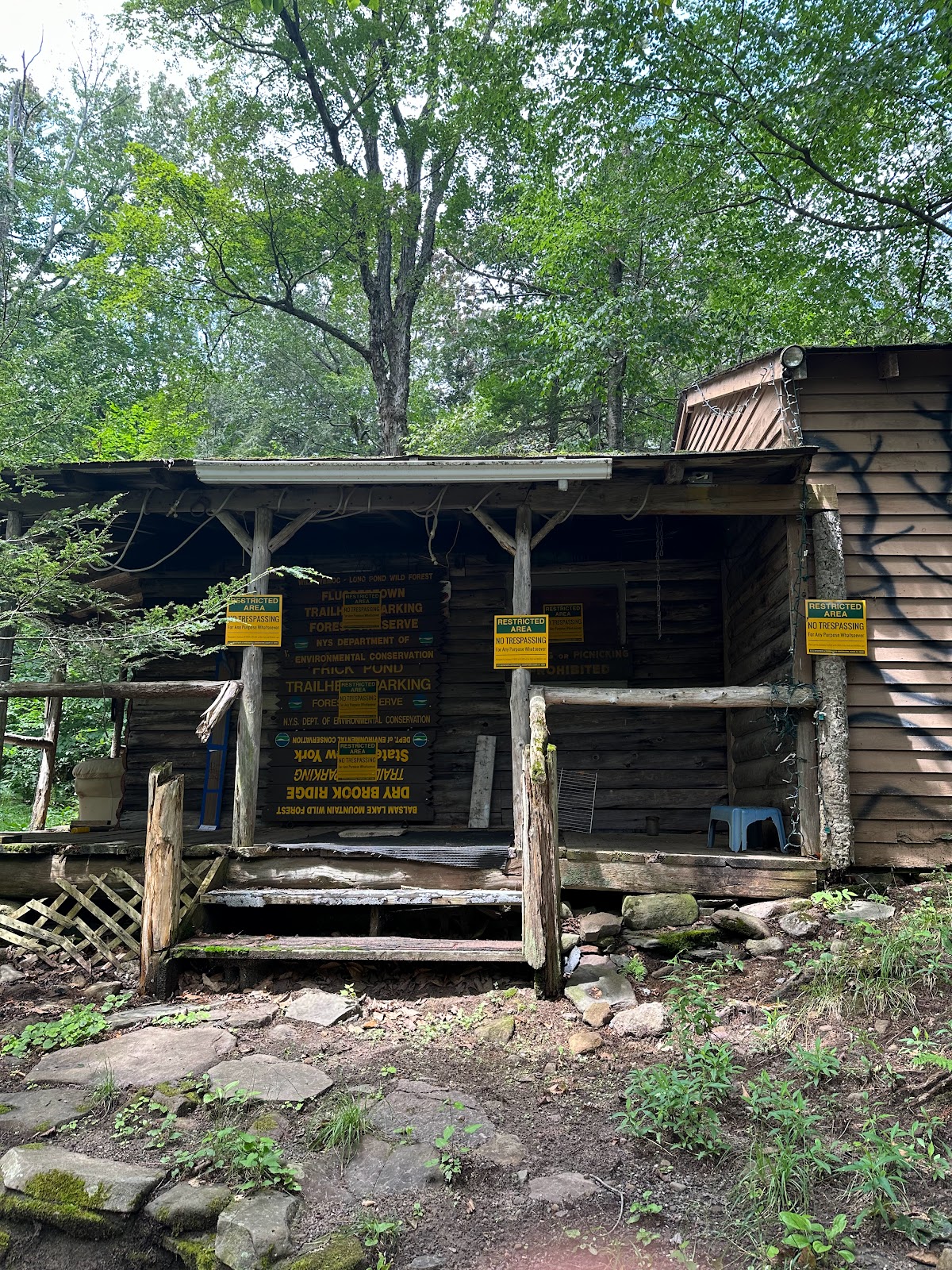
A bit after Pople, you move onto a relatively bland and unappealing gravel service/fire roads/snowmobile trails for about 1.7 miles. The only notable spot here is an abandoned ranger station with some very temping signage warning people to NOT trespass. I decided to get a little reckless and ate a snack on the picnic table outside. Carrying along the gravel road, I began spacing out and followed it until it spat me out at a road. Checking my map, I realized that I had overshot the LP about a mile back and was now on Dymond Road. AllTrails showed another trail slightly up to the road that seemed like it would connect me back to the LP. I had to go through someone's yard and the trail was abhorrently overgrown, but it did indeed reconnect me to the LP. This next section, despite actually being the LP, was also badly overgrown which is unfortunate but understandable because I can't imagine many people making the hike up from Peekamoose Road when Peekamoose/Table are just as close. In retrospect, I probably should have retraced my steps instead of taking this loop. Somewhere after this I passed a nice fresh bear poop.
Depressing service road (left), disused ranger station (center), overgrown trail section (right)
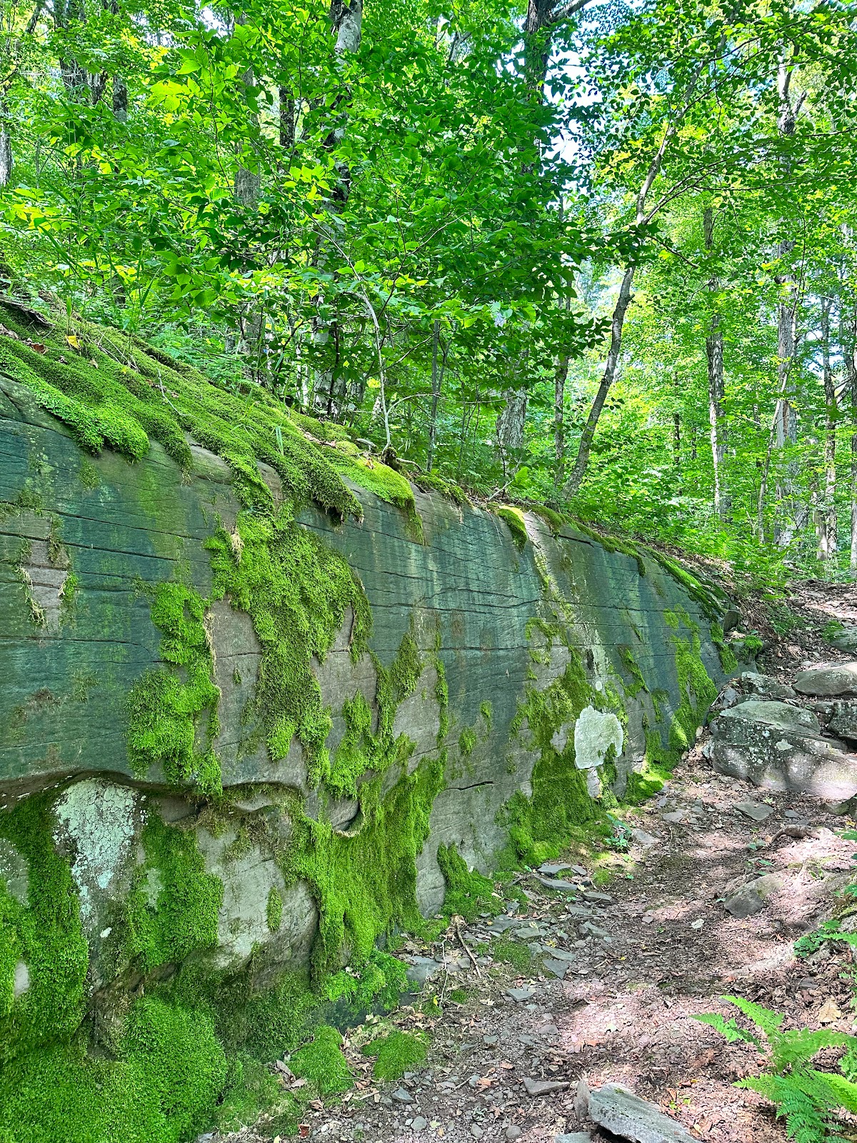
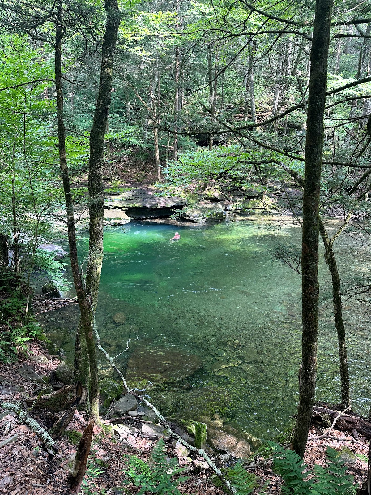
After passing this sections peak elevation of ~2400ft under Samson Mountain and then going over Bangle Hill, you'll drop pretty precipitously to Rondout Creek/Peekamoose Road at 1200ft, where you make a right to follow the road for half a mile. At the bottom of the trail, right before Peekamoose Road, there is a pretty spectacular chunk of sandstone, maybe 30+ feet high on the back end. I suspect it's actually bedrock, and not an erratic or otherwise erosionally deposited, but I'd have to take a closer look to confirm. I hit Peekamoose Road a little after 4pm and continued right along the road about 0.5 miles to the Blue Hole, where I took a dip into cold, refreshing water. Highly recommend. After the semi-historic rain we've had in the area, Rondout Creek was absolutely ripping. I filled up another liter of water to hold me over until I got to the lean-to and was back on the trail by 5pm.
Impressive sandstone chunk by Peekamoose Road (left) and Peekamoose Blue Hole (right)
To continue on the LP, find the parking lot across from Peekamoose Blue Hole (during the summer season there is usually a tent with Park staff making sure that car parking rules are obeyed--you need a reservation to park there, which open 2 weeks in advance from booking dates). Get on the Blue Markers and start trudging north/northeast up to the peak at Peekamoose (3819ft), about 4 miles in. I've done to the climb up to Peekamoose/Table 3 times now, and I don't know exactly know why, but it always feel horrible. The terrain is beautiful, though. The sandstone/conglomerate blocks of the Catskills are iconic (at least in the Hudson Valley) keep things interesting. About 2.5 miles in, around 2900ft, you'll hit Reconnoiter Rock, a sizable glacial erratic. After climbing several sets of ledges I finally reached the proper Peekamoose peak at 3819ft, where I found another erratic and was rewarded with my first (albeit unimpressive) view of the trip. An easy 0.85 miles later I was at the summit of Table Mountain. Shortly after the summit you'll find the Upper Table Viewpoint, which looks west over the impressive river valley of the East Branch Neversink River, which drains most of the high peaks in the area. I took a few pictures and carried on another quarter mile to the lean-to, arriving around 7pm.


Reconnoiter Rock (left), erratic on Peekamoose (center), west-facing view from Table Mountain (left)
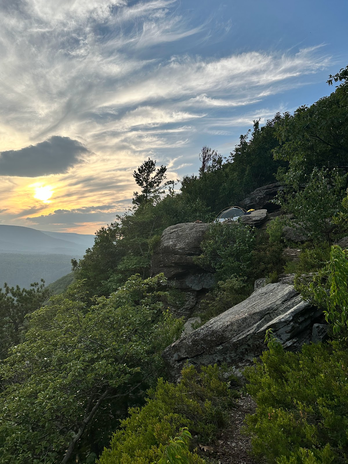
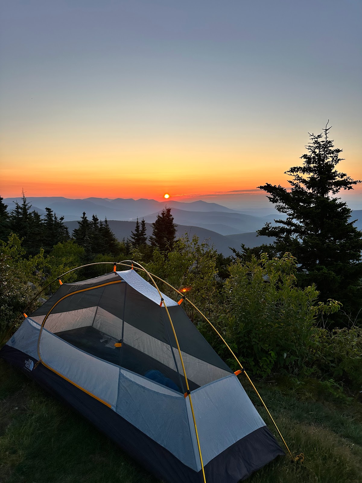
The Bouton Memorial Lean-to is ideally situated just below the 3500 feet line, a 5 minute hike up-trail to one of the best sunset watching spots in the Catskills (imo) and a 2 minute hike down to a clean and reliable water source. And it's newly made (2021) and very well equipped. A banger of a spot. I had just had a long, 18 mile day (including my 2 mile detour involving Dymond Road), and just wanted to chill, but I had a lot to do. It was a little after 7pm and I still had to set up camp and filter some water before testing my luck with the sunset. I also wanted to find some time to eat. Always trying to do too much. Anyway, I made an attempt at doing all of these things and made it up to the viewpoint around 8:10. Although it was almost perfectly clear over Table, there was a large cloud mass off to the west, which had just swooped in to block off an otherwise promising sunset. I cut my losses and went back to the shelter, where I discovered someone else setting up camp. I got a fire going, hydrated my potatoes (they like it), and learned that this guy's name was Nathan, was from Albany, and he had a PhD in toxicology. We talked a bit about our work and academia and he told me he was doing a bushwhacking loop to bag Lone, Rocky, Balsam Cap, and Friday, which are all nearby 3500er peaks that require bushwhacking. I was pretty interested by all this and by mid-day the next day I realized that I wanted to check off the Catskill 3500ers myself. It's a cool way to explore a majority of the Park and to get some experience bushwhacking, which I hadn't done since I was a teenager who "didn't believe in trails." Something about childlike joy, I think.
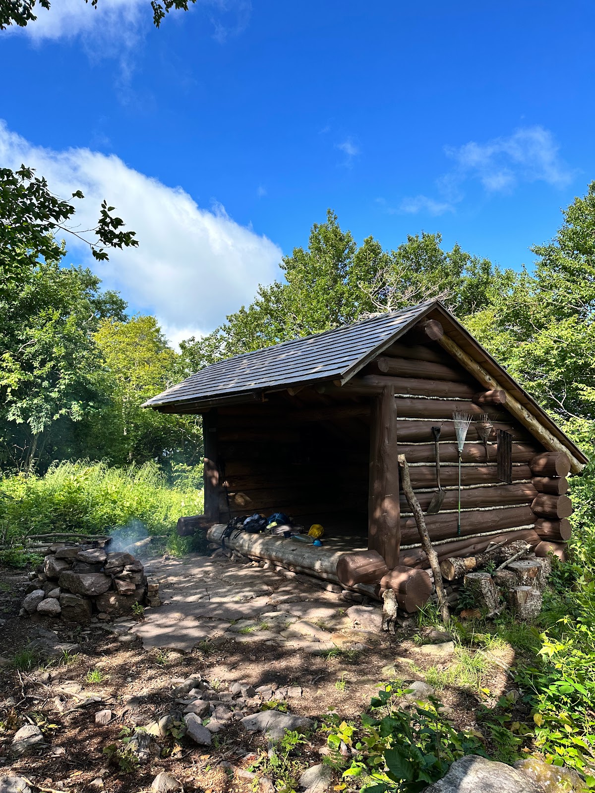
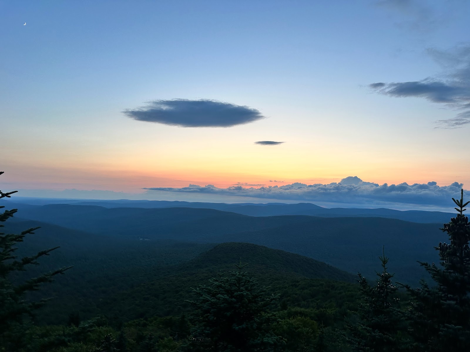
Bouton Memorial Lean-to (left), western view from Table Mountain (right)
Day 2 - Bouton Memorial Lean-to to Wittenberg Mountain: 10 miles unadorned, 14 including water detour.
I woke up to an amazing morning. After an incredible string of brutally hot and humid weather throughout most of July, we finally had a break. This morning I woke up to sunny skies, a pleasant chill in the air, and a moderate breeze. It reminded me distinctly of early autumn and more or less made my heart flutter. Energized by the conditions, I ate breakfast, topped off on water, and packed down camp. From Bouton, you continue following Blue Markers to descend about 2.75 miles down the north side of Table Mountain into the East Branch Neversink River drainage. It's a pleasant and slightly technical descent and I passed a few early day hikers on the way down. The bottom of the river valley, around 2300 feet, is pretty damn nice and there are several appealing-looking campsites in the area. I hung out for a while, exploring around and soaking in the sounds of the Neversink around me.
Campsite in the Neversink Valley (left) and view up the Neversink from the bridge crossing (left)
The trail crosses the river over an elevated wooden bridge and soon intersects the Finger Lakes Trail (Yellow marker), at which point it gradually climbs 1.75 miles up a nicely wet section of trail to Curtis-Ormsbee Monument at a little over 3000 feet. From here, hop back on the Blue Markers to follow the Curtis-Ormsbee trail up this less used and more gradual ascent up the southwest side of Slide Mountain, bouncing between areas of semi-open deciduous forest and dead-silent spruce forest. After 1.65 miles the trail intersects the Wittenberg-Cornell-Slide trail (Red Markers) and turning right and staying 0.7 miles on that takes you to the top of Slide Mountain, which is the highest peak in the Catskills at 4184 feet. There's a very nice north-facing vista with deep views of the Slide Wilderness and Devil's Path shortly before the peak proper. The peak of Slide itself is somewhat unimpressive, although there is a plaque dedicated to John Burroughs and an interesting patch of grass up there. The flies were pretty rough for me, so I quickly moved on.


North-facing view before Slide peak (left) and view from Slide Peak (right)
From here, the trail traverses the remainder of the Burroughs Range. Each descent and ascent from here involves some technical sections, particularly the climb up Cornell and down Wittenberg, but it's all fun stuff. I stopped on the Slide descent to fill up on water from the fairly reliable spring located at around 3750 elevation, as I wasn't expecting to find any more water sources on the remainder of the trail. There are several primitive campsites on the saddle between Slide and Cornell, which I previously stayed at when doing the Burroughs Range Loop a couple years back. They're are nice enough but deeply forested. The climb up to Cornell at 3857 feet is pretty technical but along the way you'll pass some cool geology and find another nice glacial erratic at a decent view back at Slide.
Huge quartz clast (left), obvious change in flow-energy level (center), and Cornell erratic (right)
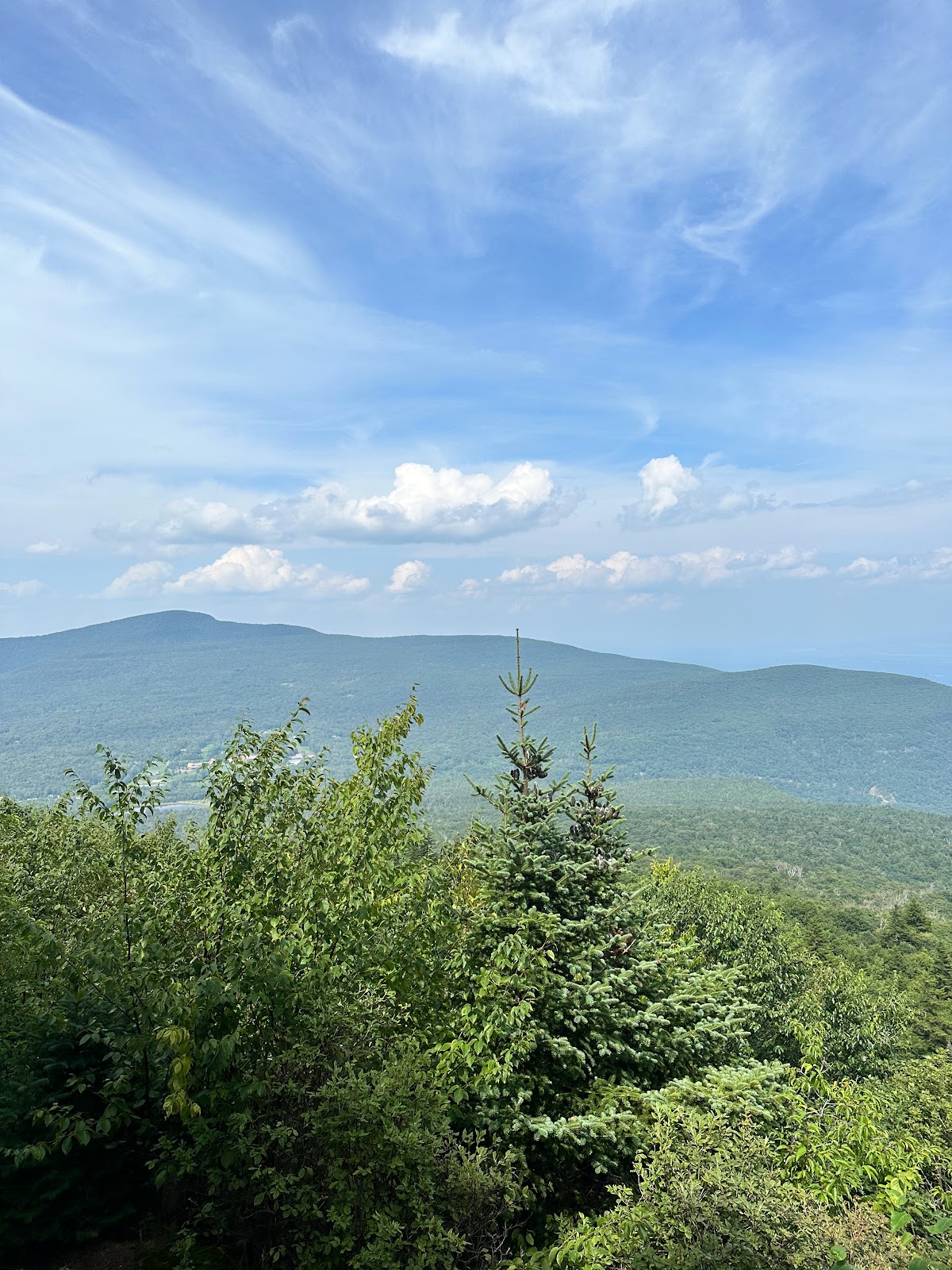
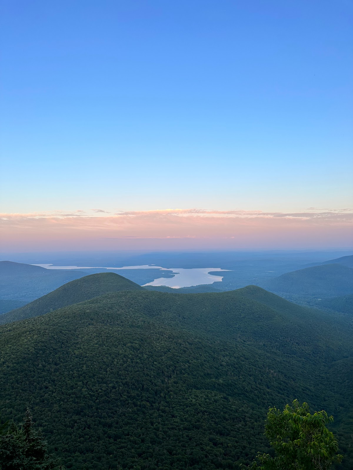
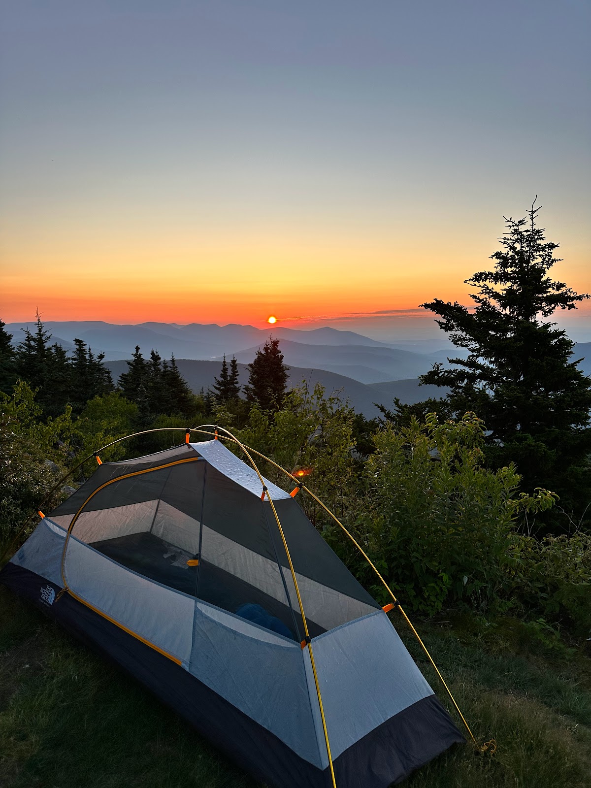 The true peak of Cornell is unimpressive, but after climbing down and up to Wittenberg Mountain at 3787 feet, you'll catch one of the nicest viewpoints in the entire park, imo. Wittenberg's viewpoint offers expansive views to the south of Ashokan Reservoir + the mid-lower Hudson Valley and northeast to the Devil's Path. It's easy to see the Shawanagunks, Kingston, and the Hudson Highlands in the distance and it's even possible to hallucinate lights from the NYC skyline on a clear night. There were a handful of people around when I made it to the peak around 5pm, including Joe, a like-minded guy from Pawling who I was chatting with and hope to do some backpacking with in the future. Unfortunately, there is no water source anywhere in this area and your best bet is traveling about 2 miles down from Wittenberg to get water on the trail down to Woodland Valley Campground (it's marked source on NYNJTC map). Around 5:30pm, I decided to leave the contents of my pack in some brush and go fill up on water, returning around 7pm. Even during a month of heavy rain, the source was not immediately flowing but going about 50 feet down stream I was able to find enough of a trickle to filter. You are not allowed to camp above 3500 feet in the Catskills (except in winter), so consider camping at one of the primitive sites on the north face of Wittenberg. I originally considered going on to Terrace Mountain Shelter but decided against it after reading of how gross/dilapidated it was. I won't specify exactly where I did camp, but I will say that I saw many good views that night, although how much that relates to my camping spot I will not disclose.
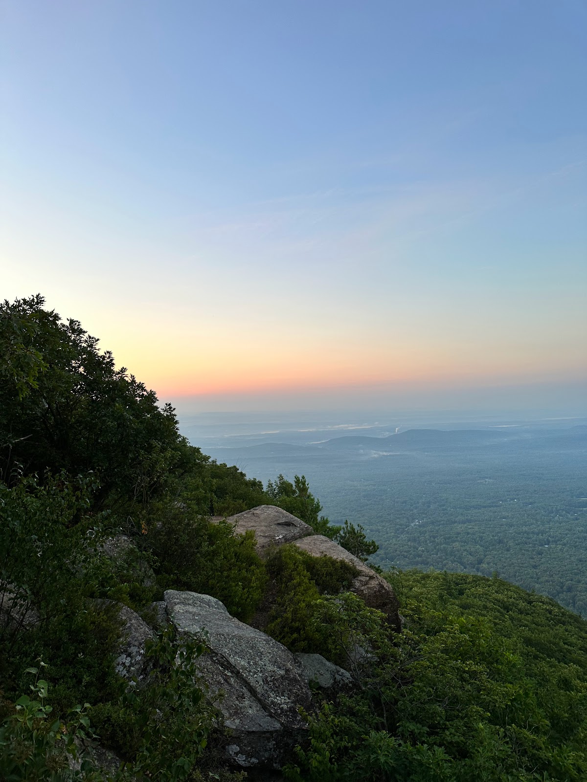
Sunrise view of Devil's Path (left) and sunset view of Ashokan Reservoir (right)
Day 3 - Wittenberg Mountain to Romer Mountain Trailhead (Phoenicia): 10 miles.
 I woke around 5:45am up to another beautiful morning in an undisclosed location and traveled and unspecified distance to catch the sunrise from Wittenberg. Absolutely incredible. It's been tough for me to catch sunrises historically, but this one was no problem and very much worth it. A few other people rolled thru to catch it themselves (a bit late, though), including a guy named John who had camped in the saddle between Slide and Cornell. He was from Jersey and we ended up chatting for quite some time. He had done a fair amount of Catskill bushwhacking and continued to fan my flame for doing the 3500er peaks. This weekend, he was doing the Burroughs Loop and we decided to travel down together from Wittenberg. From the north side of Wittenberg, it's only 1.1 miles to where the LP branches off from the Woodland Valley trail, where John and I said our goodbyes.
I had about 9 miles to go from Phoenicia and from my glances at the map I was expecting it to be an easy descent down a ridgeline. It was overall downhill, but not quite so easy as I had anticipated, and the ridgeline was not very obvious. Plus, I only had the 4L of water I had started with to get me all the way through the day and my phone was at about 10% battery. The section of the LP after branching off from the Woodland Valley trail was definitely not used much, but not as overgrown as some sections in Sundown Wild Forest. The trail maps for this section show some vistas, but I didn't see any until I got to Cross Mountain, about 2.5 miles in. This was a nice, open, rocky section with views back to Wittenberg. I foraged for a few blueberries and carried on. At this point, I began realizing the terrain was more than just a gradual descent and it also involved some minor, but annoying ascents up to the lesser peaks along the ridge. Mt. Pleasant was my next obstacle and it did actually end up being pretty pleasant. This section reminded me of some of the nicer sections of the AT in Harriman State Park. Older forest with very deep greens, gray stone, and dark damp soil. A little under the 2500 foot line there is a very cool viewpoint looking back up at Wittenberg.


Rocky spot on Cross (left), blueberries from Cross (center), and view back to Wittenberg (right)
By this time, I really had to conserve water and I feeling pretty exhausted but determined to get back to the car. My phone died right after taking pictures from the viewpoint, which was unfortunate, because probably less than 5 minutes later I inadvertently startled/woke up a Barred Owl, which flew up to a dead tree off to my right, only about 15 feet off the ground. Would have made for a sick pic. We stared at each other for a while. Then we blinked a couple times. They flew up to a higher branch, almost out of sight, and after a few more minutes I carried on my way. Continuing onwards and downwards, I finally reached my final ascent of Romer Mountain. This section continued to be nice, as Mount Pleasant had been. The descent from here was deceptively long, some 3.2 miles on the map, but in my head I was expecting 1.5. It's also deceptively steep at times, or maybe I was just getting tired on mile 36. Mount Romer is "only" at 2200 feet but the trailhead in Phoenicia, being in the heavily carved valley of Esopus Creek, is around 800 feet. There is a water source about half a mile before the trailhead which I had to stop at to fill up on water and also dunk my head. It felt amazing and I was refreshed and ready to polish this stretch off. I got back to the car by about noon, triumphant but exhausted, and booked it straight for the Phoenicia Diner for a sandwich and some vegan pancakes. Doing the remainder of the Long Path in the Catskills will probably require 2 more 3-day backpacking trips. Until then...