Backpacking the Catskill Mountains: Long Path Sections 20-22
Type: Point-to-point
Start: Mount Tremper Trailhead, Phoenicia, NY (https://goo.gl/maps/y2EsPFtSHubWhhDR7)
End: Harding Road Trailhead, Palenville, NY (https://goo.gl/maps/gvtJvC9SYDsmzKsA8)
Mileage: 34.3 (37.3 including detour to Huckleberry Point)
Report dates: 8/4-8/6
Water Availability: generally good, water flowing in many places
Upper Daley Ridge/Plateau Spring: flowing well
Plateau-side Mink Hollow spring: flowing well
Introduction:
After having such a great time ripping Sundown Wild Forest, the Burroughs Range, and Mount Pleasant a couple of weekends prior while doing Long Path Sections 16-19 in the Catskills, I was nearly watering at the mouth in anticipation of continuing on this oft-forgotten but beautiful trail. I set my sights on sections 20-22, between Phoenicia and Route 23A in Palenville. This is an impressive and diverse stretch of trail, at times quiet and remote, at others as busy as can be, but always beautiful. Day 1 covers Mount Tremper, Warner Creek, Silver Hollow, and the serene and oft-forgotten Daley Ridge. Day 2 takes you across 4 peaks over 3500 feet as you traverse the eastern half of the Devil's Path, before descending down to Platte Clove and up to Huckleberry Point. Finally, for day 3 you traverse a section of the eastern edge of the Catskills (Catskill Escarpment), traveling through deep pine forests, fields of stinging nettles, and crossing multiple significant waterfalls, before spitting you out by Route 23A and the infamous Kaaterskill Creek. This final day also provides the option to make a short detour to bag another 3500er, Kaaterskill High Peak, via a relatively short and simple bushwhack. If you're into secluded spruce forests, rock-ledge camping, deep river valleys, rugged terrain, or massive waterfalls, this trail is for you.
For a better description of the trails than I can muster, see the NYNJTC:
Section 20 - https://www.nynjtc.org/book/20-phoenicia-silver-hollow-notch
Section 21 - https://www.nynjtc.org/book/21-silver-hollow-notch-platte-clove-road
Section 22- https://www.nynjtc.org/book/22-platte-clove-road-palenville
Note: to complete this point-to-point trip, I enlisted the help of my cousin Erin and her husband, Marc, who live in Ellenville. They met me at the Harding Road Trailhead in Palenville and drove me to the Tremper Mountain Trailhead in Phoenicia and even joined me for the hike up to Mount Tremper Fire Tower. Thanks to them for their time, company, and for making this trip $50-100 cheaper. If you don't have a Marc/Erin, there are taxis in the area that you can hire, although they'll cost you a pretty penny and I haven't personally used them so I cannot attest to their virtue.
Day 1:
 I drove up to the Catskills early on Friday morning, arriving at Harding Road Trailhead by 9:20am. By 9:30, Marc and Erin arrived and we headed over to Phoenicia. The weather was overcast and the forecast threatened some rain later in the afternoon. Starting at a low 750 feet feet, the climb up to Mount Tremper (2718ft) is straightforward: about 2.75 miles up an old fire road through a hardwood forest, featuring moderate gradients and some switchbacks. Along the way you pass 2 shelters and 2 springs, all of dubious character. Why they thought it necessary to have 2 shelters within a mile of each other is beyond me. By the time we got to the fire tower, the mountain was shrouded in fog. We climbed to the top of the fire tower, ate a snack, and talked for a bit, before descending and saying our goodbyes. I had a ways to go and wanted to beat the rain if possible.
After descending about 2 miles down Tremper Mountain I came to a saddle around 2400ft that intersected the yellow-marked Willow Trail. I heard something sizable run off down the hill to the east as it began to drizzle, so I threw my make-shift rain-cover (aka a garbage bag) over my pack and continued on. The sky remained overcast but held up for the next 45 minutes or so as I climbed about 1.15 miles up and around Carl Mountain (2884ft). Shortly after I began my descent into Warner Creek, the rain started in earnest, along with regular thunder and lightning. The conditions made my descent down these steep switchbacks somewhat treacherous, but at least it kept me focused. About a mile later, I made it to the Warner Creek crossing around 1600 feet, wet but relieved. There was a pause in the rain so I took the opportunity to take some pics/vids, eat a snack, and filter some water. Warner Creek is a very solid creek, flowing out from beneath Plateau Mountain and carving out a pretty significant valley, which my intended campsite on Daley Ridge would be overlooking. The creek area itself is very pleasant, with some likely camping sites nearby that one day I'd like to stay at.
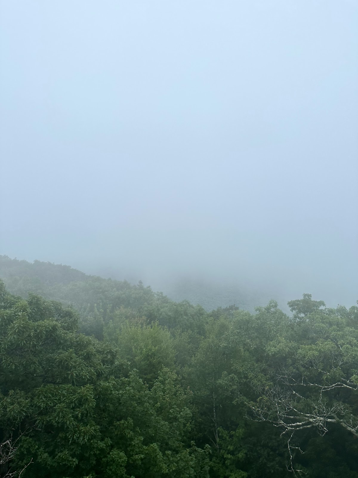

View (lol) from Tremper Mountain Fire Tower (left) and crossing Warner Creek (right)
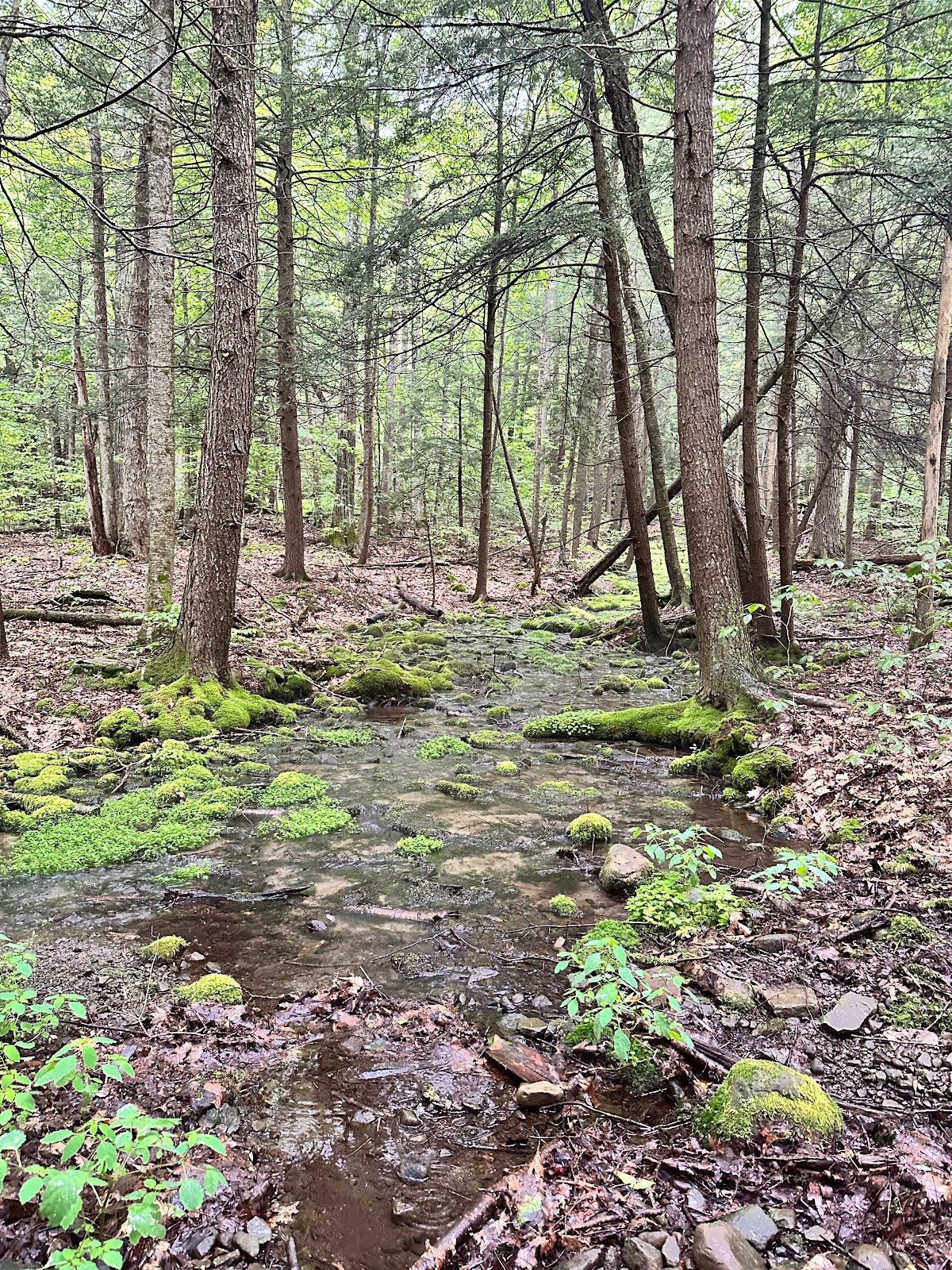 My creek-time merriment was interrupted by a massive thunderclap, not too far off, which startled me back into action. A few minutes later the rain was back in full. I soon passed a small mossy stream and then turned north to begin my ascent of Edgewood Mountain (2999ft). The rain continued to fall, the lightning continued to strike, and my glasses continued to fog. After a long mile to the summit the rain had finally stopped and the sun even came out. I stopped for a snack and some water before beginning my fairly steep descent into Silver Hollow Notch (2350ft), where LP section 20 ends and section 21 begins. On the way down I passed some red efts and a massive toad. When I reached the notch the weather seemed to be at it's most ambiguous. The forecast suggested another wave of rain in the next hour or so and I really didn't want to get caught in that. If all went well, I'd be able to bang out the ~2.5 miles to the ledge on Daley Ridge at 3381ft and set up camp before that hit. With the cloud cover wavering, however, I felt like the clock was ticking, so I set off at a brisker pace.
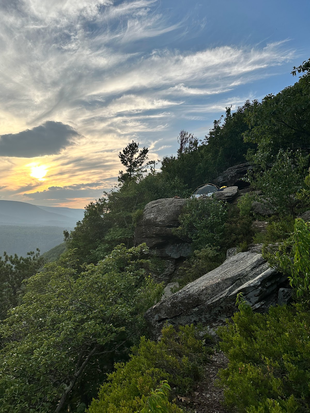
 The climb up Daley Ridge was nice. There were several rock ledges to scramble up, although nothing too serious, and once the elevation leveled off I found myself in a very thick and silent stand of spruce trees. The weather seemed to be holding up, which I was fortunate about. Apparently there are a few lookouts on the way up the ridge, but I somehow missed them. Eventually I made it to the ledge, which has an excellent view overlooking the Warner Creek drainage valley. The wind was picking up, however, and I could hear thunder in the distance, so I set up camp as fast as I could. As I said before, the area is highly wooded, so finding a spot to pitch my tent was difficult. Ultimately, I decided to set up right next to the ledge (sorry NYSDEC!), which barely had room for my small (about 3x6 foot) single-person tent. I went up trail about a quarter mile to check out the spring, which was flowing well. Then I came back to camp, made a fire and busted out the Jetboil. Soon, I was eating my simple dinner of dehydrated potatoes and Trader Joe's BBQ-jackfruit, which pairs surprisingly well. After dinner, the wind continued to pick up and around 8pm the thunder was pretty close-by. Some drops of water came down, but somehow the storm seemed to miss me, seeming to pass over Edgewood Mountain to my south while traveling east. This meant I was able to catch some spectacular lightning in the distance while feeling relatively safe on my ledge. Around 9pm, a fog rolled in and I decided to get into my tent. A few minutes later, I heard a sound like hard plastic hitting a rock, and I suddenly became afraid that something had knocked down my bear-bag. In the Advanced Silence of the foggy ridge, I was terrified to go check it out, but I ultimately mustered the courage to take a look. Luckily, it wasn't an evil demon ravaging my bear bag, and I was able to attain the necessary peace of mind to sleep the night away.


First glimpse of sun while coming down Edgewood (left) and massive Eastern Toad (right)


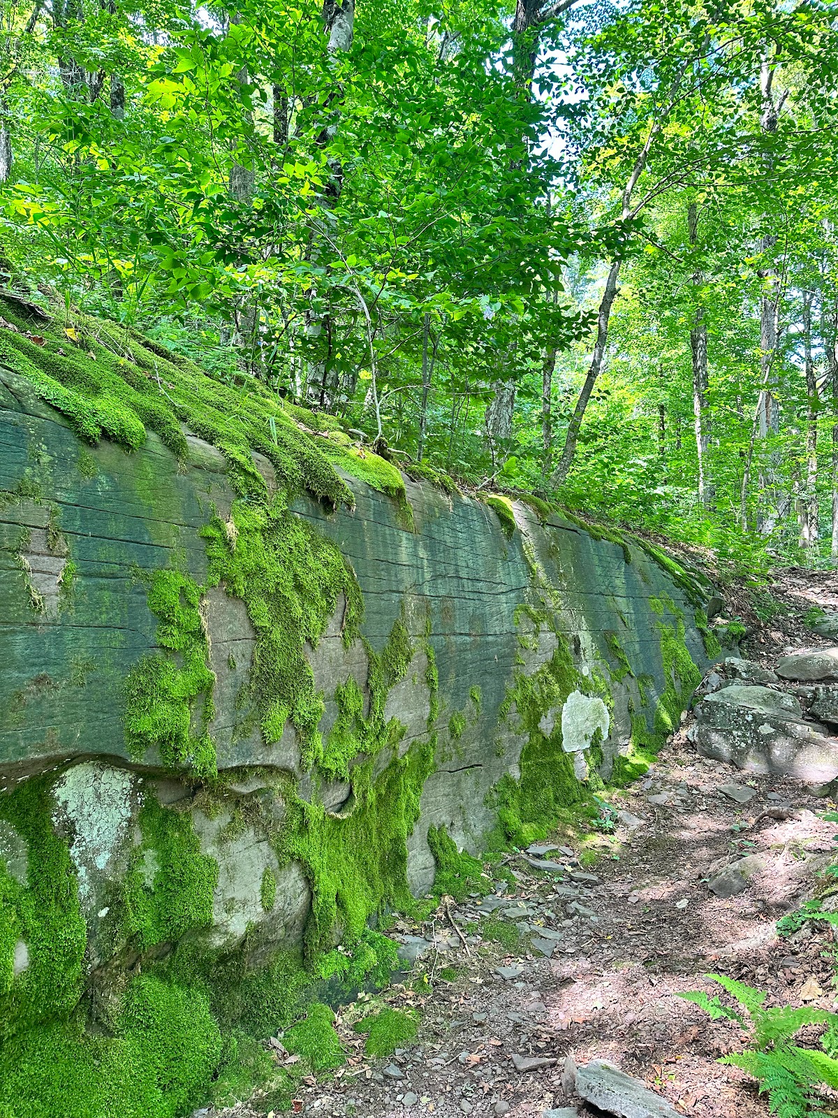
End of LP section 20 and start of section 21 (left) and nice rock wall in spruce forest while ascending Daley Ridge (right)


View from Upper Daley Ridge (left) and view of my cramped campsite therein (right)
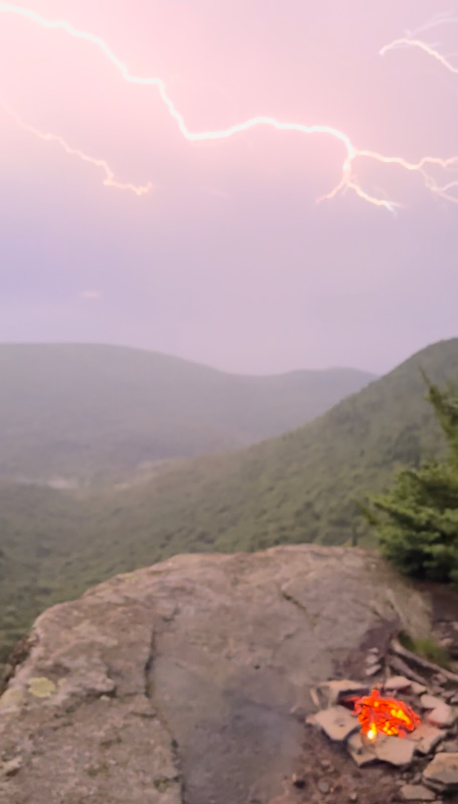

Snapshots of the pretty spectacular lightning from my campsite.
Day 2:
 I woke up around 6am to a clear and crisp morning. The rest of the weekend was forecast to be bright and sunny and so far it was off to a good start. After getting out of my tent, I retrieved my still intact bear bag, boiled water, and waited for the sun to rise over Plateau while I sipped my coffee. Warner Creek valley (and the coincident glacial cirque) is very distinctive looking. Once the sun was out, some sharp-shinned hawks started swooping around me and, to my amazement, I managed to catch one whirring by on camera. I ate my oatmeal, finished my coffee, and started packing down camp. I had an intense day ahead of me, some I was back on the trail by 8:30 but soon stopped to fill up on water at the spring below Plateau. Once I topped off my 3.5L, I made the quick scramble up to the the intersection of the Devil's Path at Plateau.
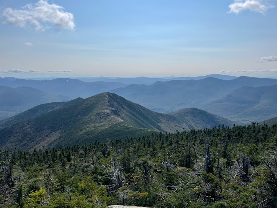
 The Devil's Path needs little introduction and is arguably the most rugged and strenuous section of trail in New York. Unarguably, it's the most rugged in the Catskills. The DP basically involves summiting a series of 6 mountains in quick succession, with each peak being above 3500ft and most of the saddles, or notches, between them being situated at 2500 feet, or lower. So that means that you're either doing an ascent or descent of over 1000 feet every mile or so, sometimes worse. With a full 30lb+ pack in tow, I'd be riding this bad boy for most of the day--crossing 4 peaks over about 7 miles with probably 7000ft+ of elevation change. But besides a type of masochistic delight, the each peak offers some kind solid or even magnificent view and traversing the often dead-silent spruce peaks is often a surreal experience. Alright, so I'm on the Devil's Path. On Plateau, moving east. A nice, flat, and calm walk across the aptly named peak over about a mile. Then a nice little rock ledge and a quick and technical descent into Mink Hollow. About a quarter mile from Mink Hollow I hit another spring which was flowing wonderfully and looking green and picturesque. I had to stop to refill some water, if only for the aesthetic appreciation. I also didn't plan on having any more water until I hit 23A in about 9 miles, so I figured I'd top off. Shortly thereafter I hit Mink Hollow proper and then was bounding up to Sugarloaf (3806ft). There are some really great scrambles and interesting rock features on the way up to Sugarloaf, but the peak itself is pretty lackluster. On the way down Sugarloaf, towards Pecoy Notch (2700ft), is a viewpoint, slightly off trail on the right, which looks east and shows a scree field on the south side of Twin. You don't see that kind of thing too often in the Catskills. Ok...now to climb Twin (3652ft), which will lead down to Jimmy Dolan Notch (3100ft). You may begin to see a pattern. I should add that the view on the way down from Twin is one of the best in the Catskills, with a very nice perspective south towards the Burroughs Range. I stopped here for a while, ate a highly functional lunch of Trader Joe's caffeinated chocolate + a Belvita, and chatted with some similarly aged young people who were day hiking. The view was beginning to get a bit hazy, probably related to the Canadian wildfires that have been ravaging the lands up north. I also ran into some hardcore trail runners who were doing the whole 24 mile path in a day. Brutal stuff. One of the guys was Doug Duncan, the founder of the NE Ultra 8: a trail running challenge to do 8 of the most intense hiking trails in the northeastern US in pretty intense timeframes. Cool to meet him and catch a whiff of how much worse it can get for those (like myself) doomed to physically masochistic relationships with nature. After Twin you drop into Jimmy Dolan Notch and then up for the final peak of the DP: Indian Head at 3573ft. The best view on Indian Head is on the back (eastern) side and looks out towards Plattekill Mountain to the east. Sherman's Viewpoint is slightly after it, after a truly precipitous climb of some 50+ feet, and offers a nice view straight to Platte Clove and Huckleberry Point, where I'd be camping that night. I met a couple from Rockland County at the first viewpoint and ended up hiking down Indian Head with them. About 2 miles later I made it down to Platte Clove around 1650ft and filled up my water once more.

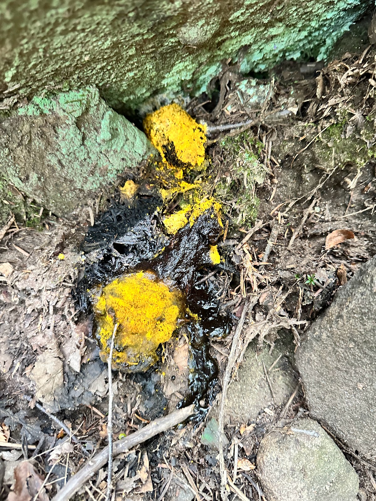
Cool puzzle-like fracture (left) and horrifying explosive poop fungi (right).

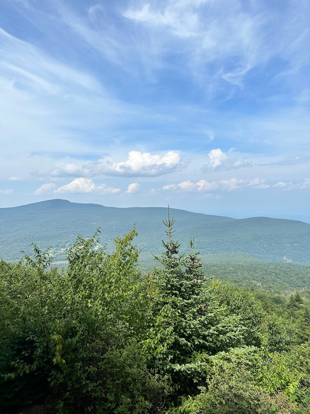
View south from the eastern view on Twin Mountain (left) and the Kaaterskill High Peak and the section of Wild Forest I'd be climbing tomorrow (right)

Huckleberry Point as seen from Sherman's Lookout (below Indian Head summit)
 From here, the LP follows Platte Clove Road east for about a quarter mile before going back north into Kaaterskill Wild Forest. After a mile the LP is intersected by the Yellow trail, which goes southeast about 1.5 miles to Huckleberry Point, where I'd be sleeping for the night. I passed several hikers who warned me of a hornets nest ahead that was "very dangerous" and when I got there, it didn't seem all that dangerous to me. The nest was probably about 30 feet up in the tree and there was no sign of hornets close to the forest floor. Not sure what the danger was other than the yellow warning tape someone had haphazardly wrapped around a nearby tree with WARNING HORNETS written on it. The mosquitos began to get really bad around here but I was hoping that things would be better at Huckleberry due to the relative exposure. I was wrong. I got to Huckleberry and decided to set up camp on a ledge. Not the most comfortable but I wanted that feeling of sleeping on the edge. I quickly set up my tent and then gathered fire wood. The wood around was incredibly dry and burnable. Luckily I was making my fire on the rock ledge. The mosquitos continued to assault me even after I got a fire going. Moderately disturbing. I met a guy named Marvin from Mount Vernon who was up there to take photos during the sunset. We chatted for a while while watching the sunset and he even took some photos of me, which turned out pretty well. Shout out to Marvin and check him out on Instagram @m2g.photo and @marvin.martelly
Views from Huckleberry Point:


The caution wasp sign I passed on the way to Huckleberry Point (left) and incredible sunset over the Eastern Devil's Path from Huckleberry Point (right)
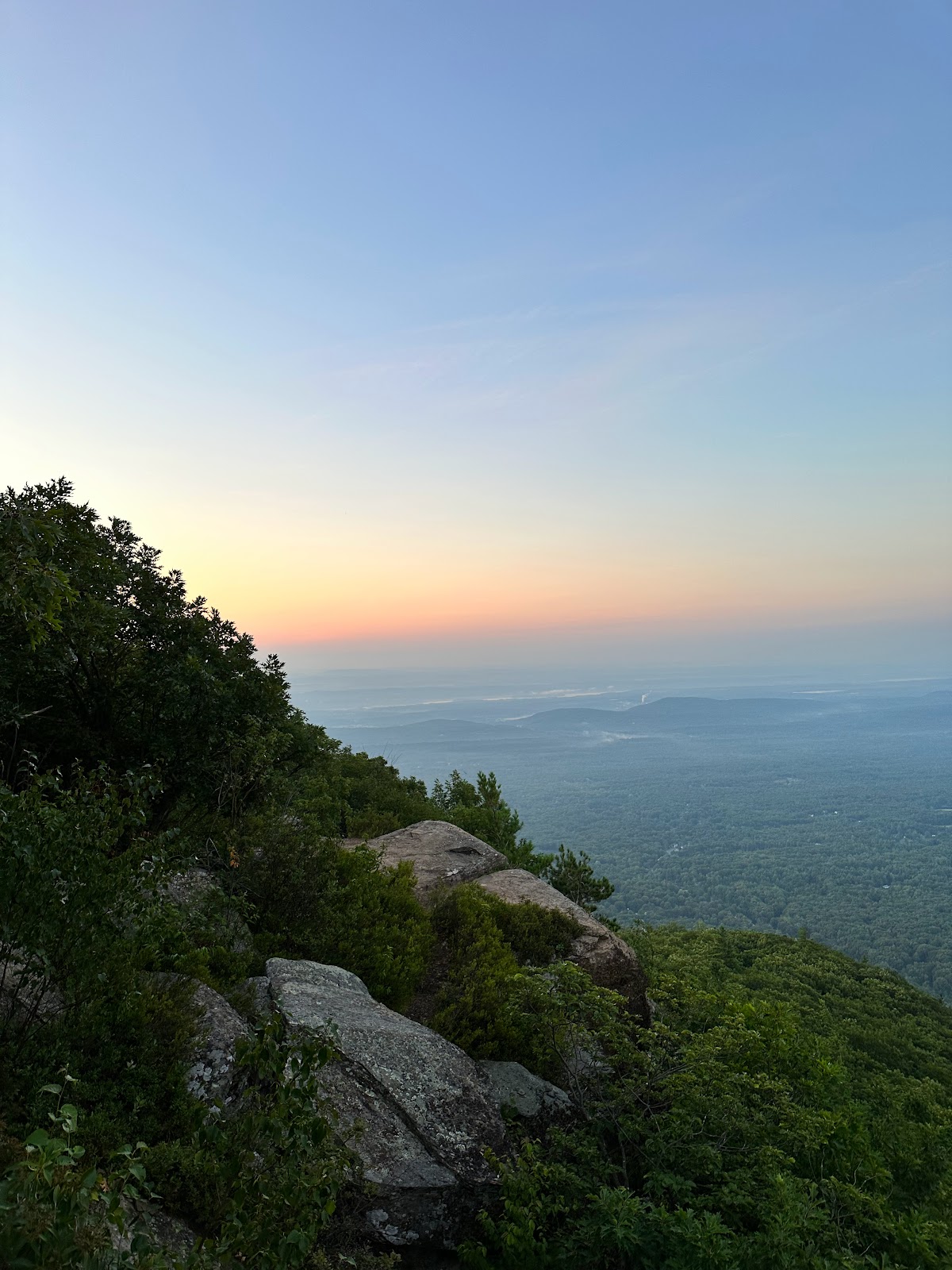

Sunrise from Huckleberry Point (left) and Overlook Mountain and the Catskill Escarpment going south (right)
Day 3:
I woke up for the sunrise, which was pretty nice but not as impactful as the previous sunset. I couldn't find a clear shot east but I suspect there is one in the area. Regardless, it was nice to watch the light grow over Overlook Mountain and fortunately the mosquitos weren't too bad. I ate breakfast, packed up camp, and set off. I went back 1.5 miles northwest and rejoined the Long Path, currently also doubling as a snowmobile trail. I charged north for another 2.3 miles through some pretty pleasant terrain including red spruce stands, some very pretty nettle fields, and some higher elevation pine plains before getting to a trail junction that led south for a few hundred feet to the Kaaterskill High Peak herd trail. was a little nervous, not knowing what to expect from a Catskill bushwhack. I put my pack down and took out a Belvita, a little water, and my map. The trail ended up being straightforward, about 1 mile up about 600 feet of elevation. A few ledges to climb up but I never lost a herd trail. The peak itself has a nice open area with some bedrock and a canister, but I didn't sign it as I didn't know you could at this point. I headed over to the south side of the high peak towards Hurricane Ledge. Hurricane Ledge is a pretty incredible south-facing viewpoint that shows you all of the Devil's Path. There was a family of Bruderhof's (religious [cult-like?] group) at the viewpoint, who I chatted with for a bit, before heading back up to the high peak and back down to my bag.
Shots of the pleasant terrain going north after rejoining the Long Path from Huckleberry Point
Start of the northern-approach herd trail to Kaaterskill High Peak (left) and nice open area on the high peak (right)
Terrific views of the Eastern Devil's Path from Hurricane Ledge (left) and incredible greenage on the herd path (right)
When I got down to my bag I was pretty tired, but still had at least 5 miles to go. I had underestimated how far down I had to drop to get down to the creek: it's around 1150 feet and I was at 3652 on Kaaterskill High Peak. That's a pretty serious drop. I was pretty mentally foggy and wasn't too interested in stopping to take in the view, but I was in a very nice stand of forest. Something about it felt very rich and vivacious. I passed Buttermilk and Wildcat Falls, which are both incredibly beautiful. Then I continued falling down the trail, somewhat regretfully passing on Poet's Ledge, and eventually made it out to Malden Ave. Unfortunately, from here I had a 0.7 mile road walk to get over the bridge and my car on the other side of Kaaterskill Creek. I made it back to my car, tired but relieved, and then headed down to the Phoenicia Diner to go crazy on some vegan pancakes, as per usual. Overall, these are really great sections of the Long Path and I had a great weekend out there. Support the NYNJTC.


Dizzying view from Buttermilk Falls (left) and views of Kaaterskill Escarpment from Buttermilk Falls (right)

Necessary post-hike fuel.


